Paul Sullivan · 21 October 2026
Rising Land Valuations Adjacent to Established Fruit Orchards Trigger Broader Conservation Conversations
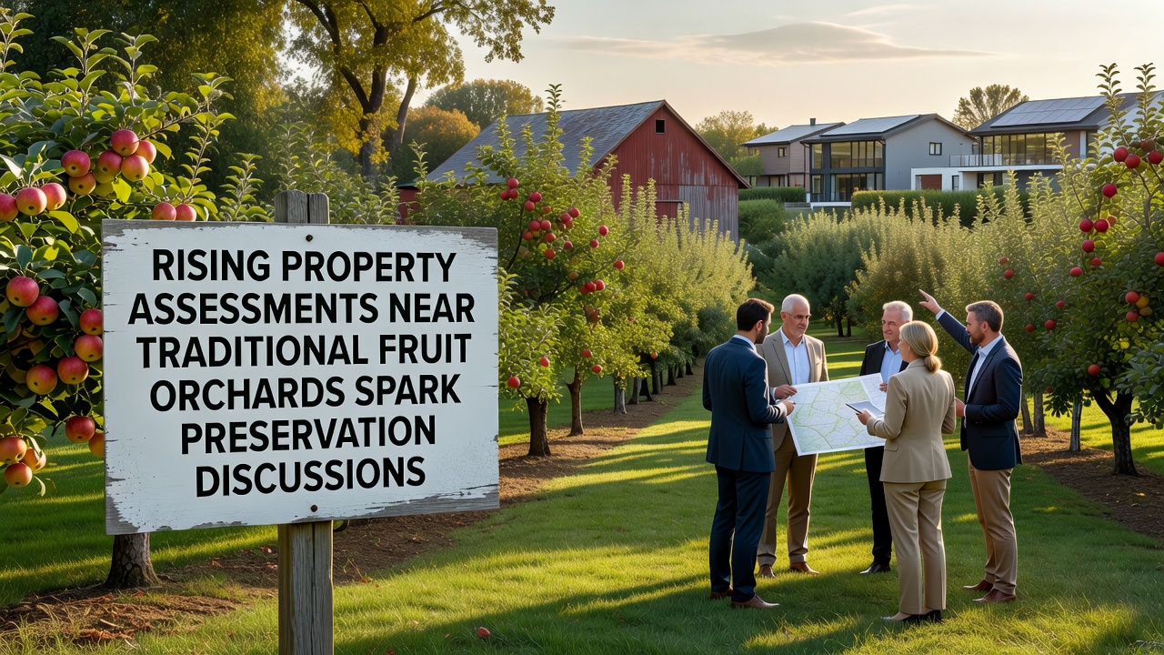
Property assessments near longstanding fruit orchards have climbed sharply in multiple regions since 2024, and this shift has prompted local governments along with agricultural groups to examine preservation tools more closely. Data from county tax offices show average increases of 25 to 40 percent for parcels within one mile of active orchards in several states, driven by residential demand and infrastructure expansion. Observers note that these valuations often exceed the agricultural productivity value of the land itself, creating tension for operators who face higher annual tax obligations while maintaining traditional growing practices.
Factors Driving Assessment Increases
Market pressures from nearby urban centers have pushed land prices upward, and proximity to orchards adds scenic appeal that appeals to developers seeking sites for housing subdivisions. In October 2026, several counties released updated assessment rolls that reflected these trends, with parcels adjacent to apple and pear operations showing the steepest gains. Researchers at state agricultural departments point to improved road access and utility extensions as additional contributors, since such infrastructure raises the development potential that assessors must consider under standard valuation formulas. Those who track rural real estate markets report that buyers increasingly view orchard-adjacent acreage as premium, even when the soil remains classified for farming.
Effects on Orchard Operations
Higher assessments translate directly into elevated property tax bills, and many family-run orchards operate on narrow margins that leave little room for such increases. Operators in affected counties have described situations where tax payments now consume a larger share of annual revenue from fruit sales, forcing some to consider selling portions of their holdings. Studies from university extension services indicate that when assessments rise faster than crop income, the incentive grows to convert land to non-agricultural uses, which in turn can fragment remaining orchard blocks and reduce local production capacity. Data collected through farm bureau surveys reveal that at least twelve operations across three states have already subdivided marginal acreage since the latest assessment cycle began.
Preservation Tools Under Discussion
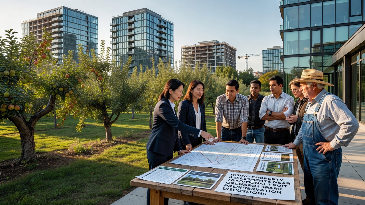
Local planning commissions have begun reviewing conservation easement programs that allow landowners to sell development rights while retaining ownership and agricultural use, and these programs have gained renewed attention because they can offset tax burdens tied to higher market valuations. According to information from the American Farmland Trust, such easements have protected more than 1.2 million acres nationwide through voluntary agreements that cap future non-farm development. In parallel, several counties are exploring use-value taxation adjustments that base assessments strictly on current agricultural output rather than speculative development potential, a method already employed in parts of Canada through provincial agricultural land commissions. Advocates for these approaches cite examples where similar policies stabilized farm viability without halting necessary residential growth elsewhere.
State legislatures have also considered grant programs that reimburse counties for revenue lost when assessments remain tied to farming use, and these proposals often reference data from the USDA Natural Resources Conservation Service showing measurable declines in orchard acreage over the past decade in high-growth corridors. One study released by Agriculture and Agri-Food Canada examined comparable pressures in British Columbia's fruit-growing regions and found that targeted tax relief preserved operational continuity for more than 300 orchards between 2018 and 2025. Those reviewing the findings note that combining easements with modest tax adjustments produced the most consistent retention rates across the sampled areas.
Regional Examples and Ongoing Monitoring
In one midwestern county, officials held a series of public sessions in late 2026 to review zoning overlays that would limit lot sizes near existing orchards, and preliminary maps indicate these overlays could affect roughly 8,000 acres. Similar conversations have surfaced in western states where pear and cherry operations border expanding suburbs, with planners examining transfer-of-development-rights systems that move building density away from prime agricultural soils. Figures compiled by regional farm organizations show that orchards participating in pilot easement programs have maintained production levels while neighboring unsubdivided parcels have seen assessments stabilize. Monitoring continues through annual satellite imagery reviews and tax roll comparisons, which allow analysts to track whether preservation measures correlate with slower rates of land conversion.
Conclusion
Discussions around rising assessments near traditional fruit orchards continue to evolve as counties refine their approaches to balancing growth with agricultural continuity, and available data suggest that a combination of easements, adjusted valuation methods, and targeted incentives can mitigate financial pressures on operators. Ongoing collection of assessment figures and land-use records will provide further clarity on which strategies prove most effective across different growing regions.